India’s Leading
Certified Soil Testing &
Geotechnical Investigation
Company
Delivering NABL & BIS-compliant Soil Testing, Borehole Drilling, Standard Penetration Tests (SPT), and Safe Bearing Capacity (SBC) reports for foundation & infrastructure engineering across India.
Leading The Way In Surveying & Geospatial Solutions
Established in 2010 by Mr. Mahesh Narasimsetty, Matrix1geosolutions (India) Pvt. Ltd. has emerged as a premier surveying agency in Hyderabad and across India. We combine cutting-edge hardware, skilled civil engineers, and rigorous quality standards to deliver prompt, reliable, and error-free spatial data.
Comprehensive Survey & Geospatial Services
Combining traditional accuracy with advanced drone photogrammetry, LiDAR, and GPR technology.
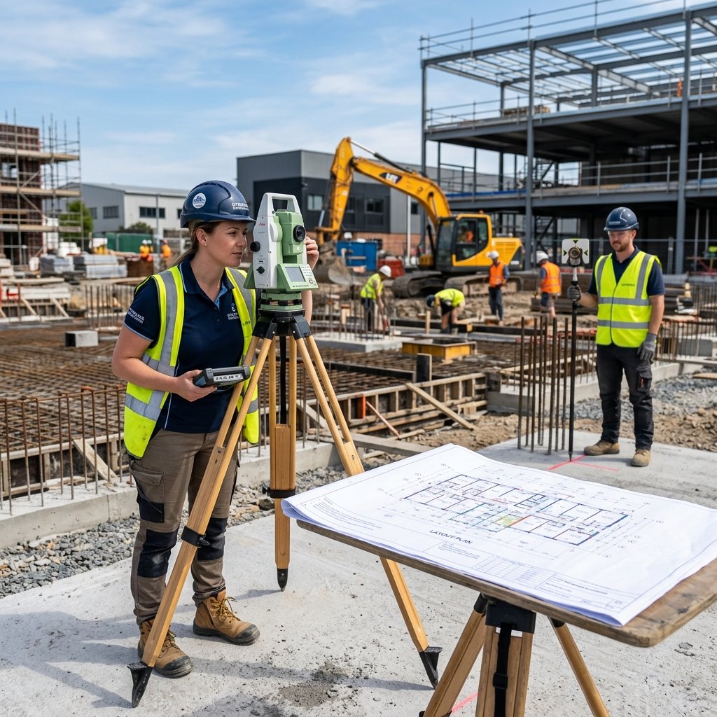
Engineering Survey
Construction layout, setting out, volume calculation, quantity survey & precise positioning.
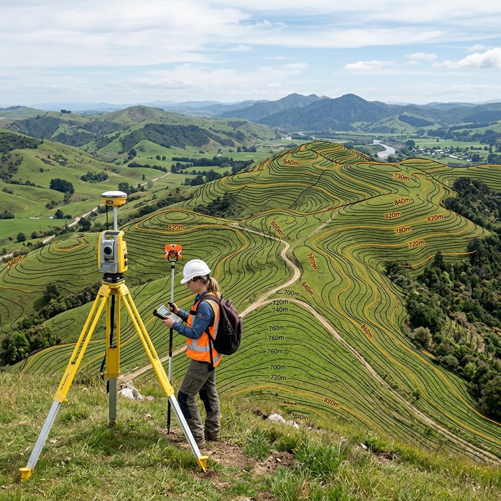
Topographic Survey
Detailed ground mapping for infrastructure, housing, industries, and regional developments.
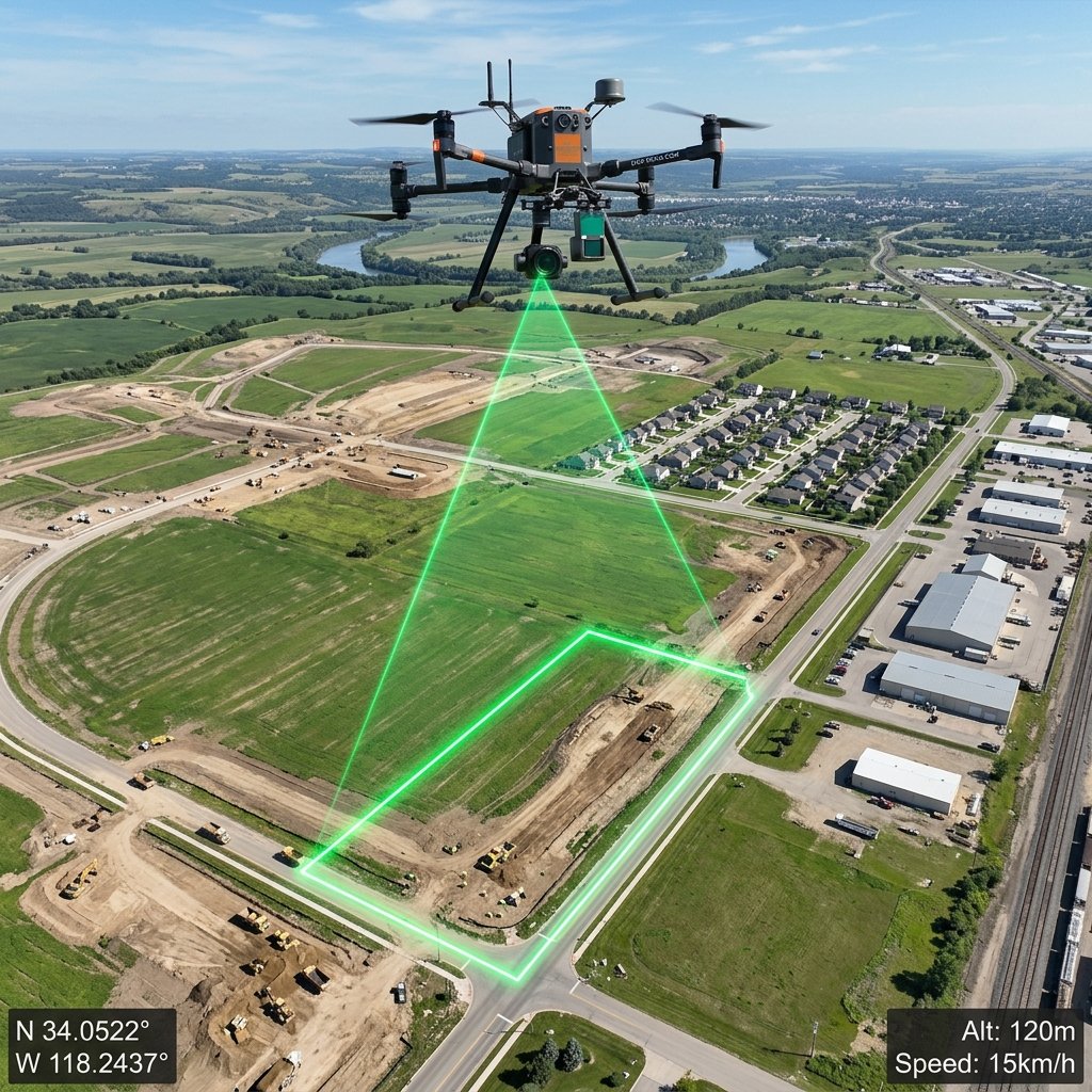
Drone Survey
High resolution aerial mapping using advanced UAV photogrammetry & thermal technology.
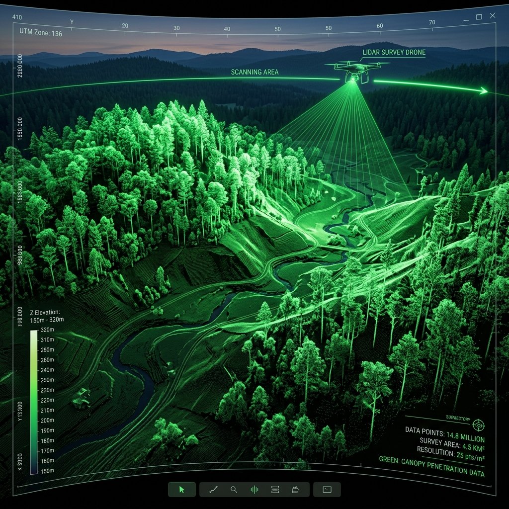
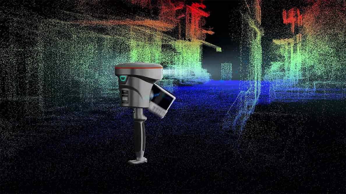
LiDAR Survey
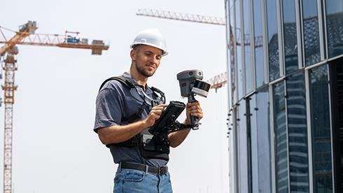
High density point cloud data collection for accurate 3D aerial and terrestrial mapping.
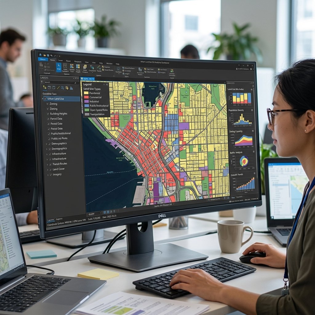
GIS Mapping
Spatial data analysis, multi-layered mapping & geospatial solutions for decision making.
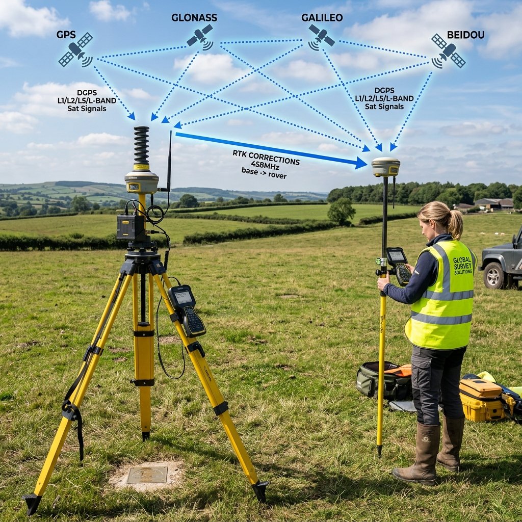
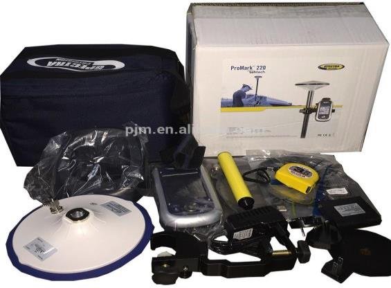
DGPS Survey
High accuracy positioning using DGPS/RTK for millimeter-level survey control networks.
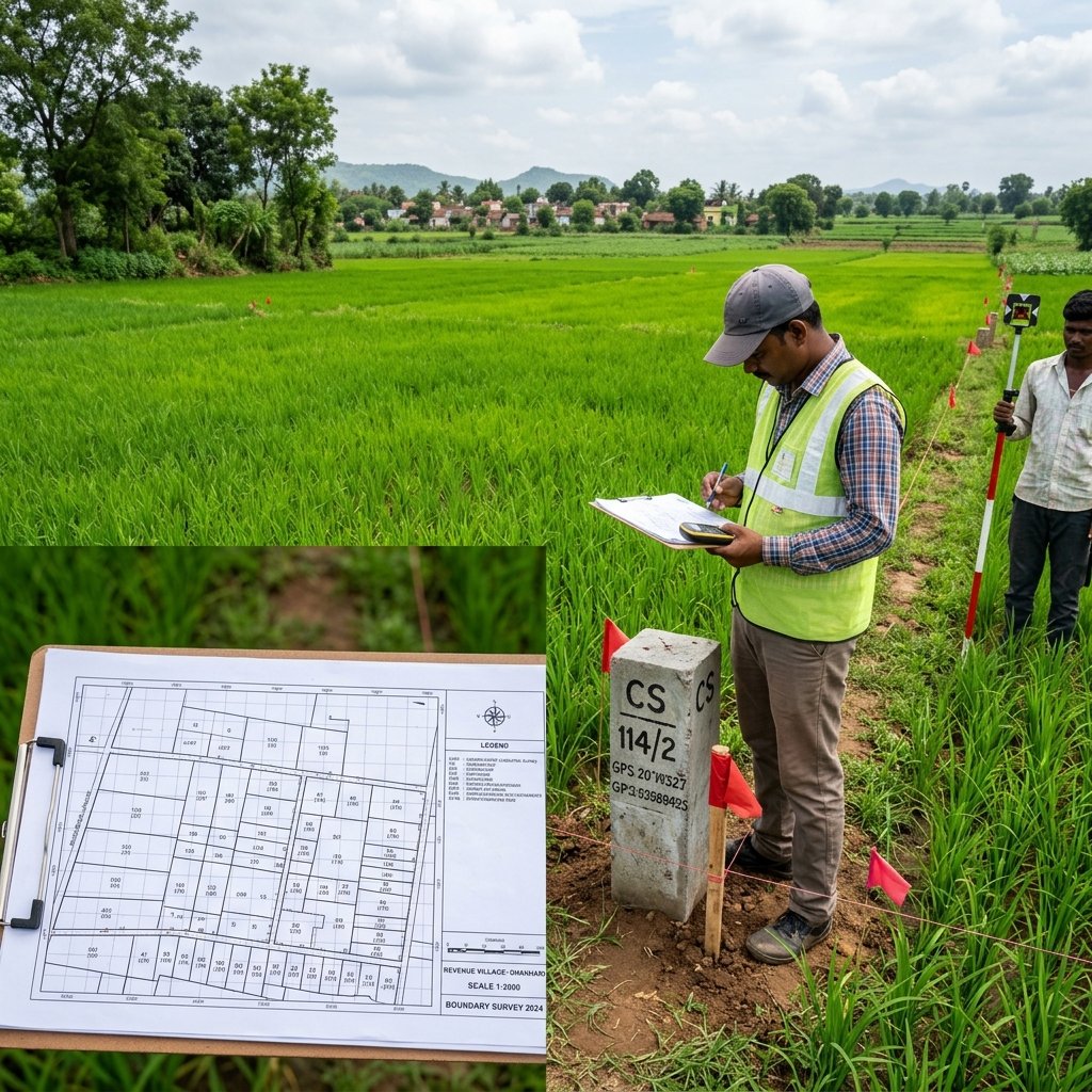
Boundary & Cadastral Survey
Land boundary demarcation, property identification & cadastral revenue mapping.
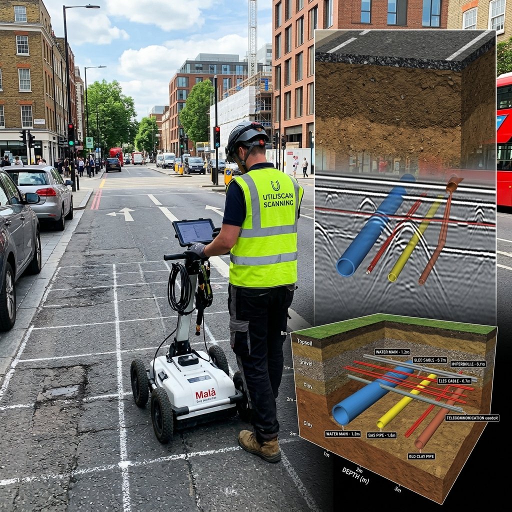
GPR & Subsurface Utility Survey
Underground utility detection & subsurface investigation using GPR & pipe locators.
Route Alignment Survey
Roads, railways, pipeline & power transmission line alignment surveys.
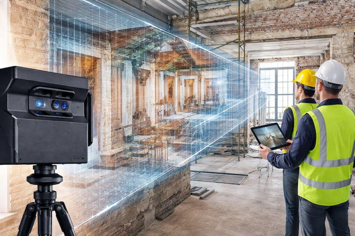
3D Laser Scanning & BIM
Accurate 3D documentation of structures, industrial plants & BIM building models.
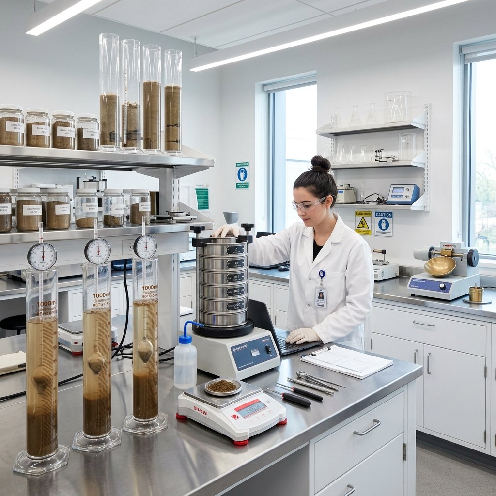
Soil Testing & Geotechnical Investigation
Borehole drilling, SPT tests, Safe Bearing Capacity (SBC), Plate Load & CBR testing for safe foundation design.
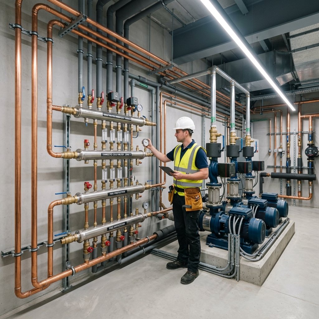
Hydrology & Water Resources
Technical scope structured around site reconnaissance, rainfall analysis, watershed response, hydraulic modelling and flood-risk recommendations.

Interior Design
End-to-end luxury interior design, 3D architectural visualization, modular kitchens, custom wardrobes & turnkey fit-outs.
Committed To Quality, Accuracy & Excellence
Trusted by government bodies and Fortune 500 infrastructure builders across India.
15+ Years of Experience
Proven track record since 2010 across government, corporate, and private geospatial projects.
Modern Survey Equipment
State-of-the-art DGPS, Leica Total Stations, DJI Mavic 3 Enterprise UAV Drones & 3D Scanners.
Skilled & Certified Team
Dedicated team of licensed civil engineers, senior surveyors, and AutoCAD GIS drafting specialists.
High Accuracy & Precision
Millimetric positioning accuracy utilizing RTK networks and dual-frequency GPS calibration.
Timely Delivery of Projects
Strict adherence to agreed project timelines, delivering comprehensive CAD & GIS reports on schedule.
Cost Effective Solutions
Competitive, transparent pricing tailored to both small boundary plots and massive infrastructure corridors.
PAN India Coverage
Successfully executed land surveys across Telangana, Andhra Pradesh, Gujarat, Rajasthan & beyond.
Strong After Sales Support
24/7 technical support, post-survey consultations, CAD revision assistance, and government submission help.
Advanced Technology. Accurate Results.
State-of-the-art DGPS, Total Stations, UAV Drones, 3D Laser Scanners & Plotters.
 Leica Geosystems
High-precision manual electronic total station engineered for high-accuracy construction layout, property boundary setting out, and engineering survey tasks.
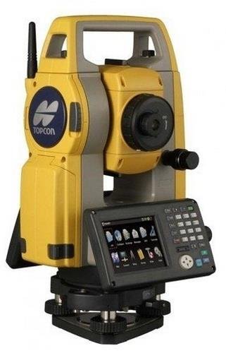 Topcon / Sokkia
Rugged and compact total station providing ultra-fast 0.9s distance measurement, dual-axis compensation, and internal memory for 50,000 points.
 Sokkia / Topcon
Industry-benchmark 1-second angle accuracy total station ideal for deformation monitoring, bridge alignment, and high-precision civil engineering.
DJI EnterpriseProfessional surveying drone equipped with 4/3 CMOS mechanical shutter camera, RTK module, and thermal payload for aerial photogrammetry and inspection.
Some Of Our Recent Projects
Executed with sub-centimeter accuracy for leading infrastructure, real estate, and government clients.
Residential Layout Demarcation Survey
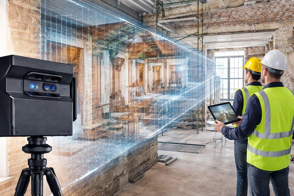
National Highway Route Alignment Survey
Industrial Plant 3D Scan & BIM Modeling
50MW Solar Farm Aerial UAV Mapping
Railway Track Corridor & Topo Survey
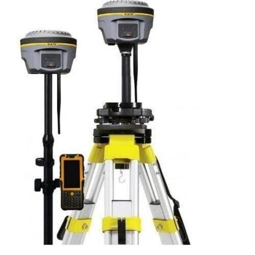
TSIIC Industrial Park Topographical Survey
Soil Testing & Field Operations
Real field execution photos from our Soil Testing, Borehole Drilling, Standard Penetration Tests (SPT), and Safe Bearing Capacity (SBC) investigations.
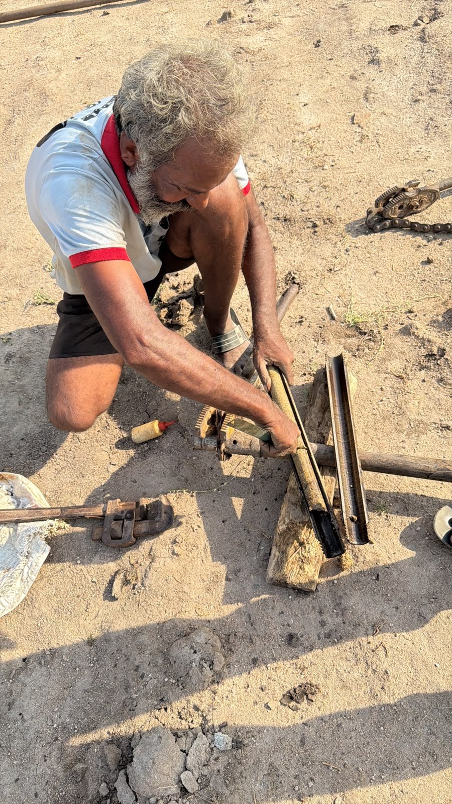
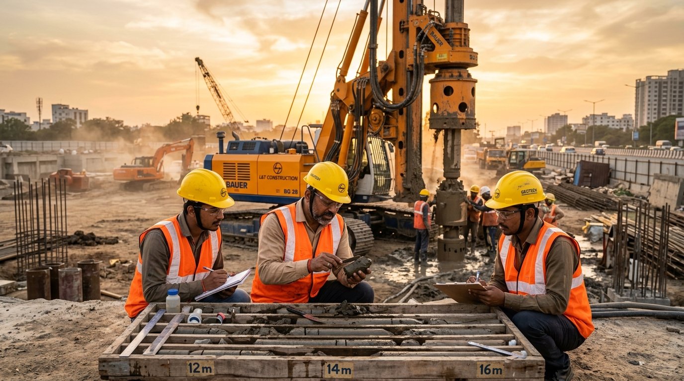
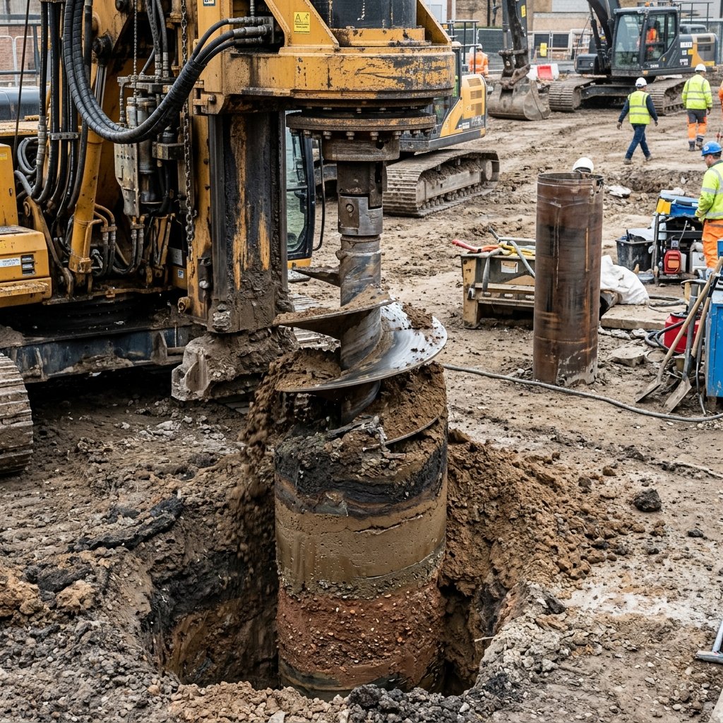
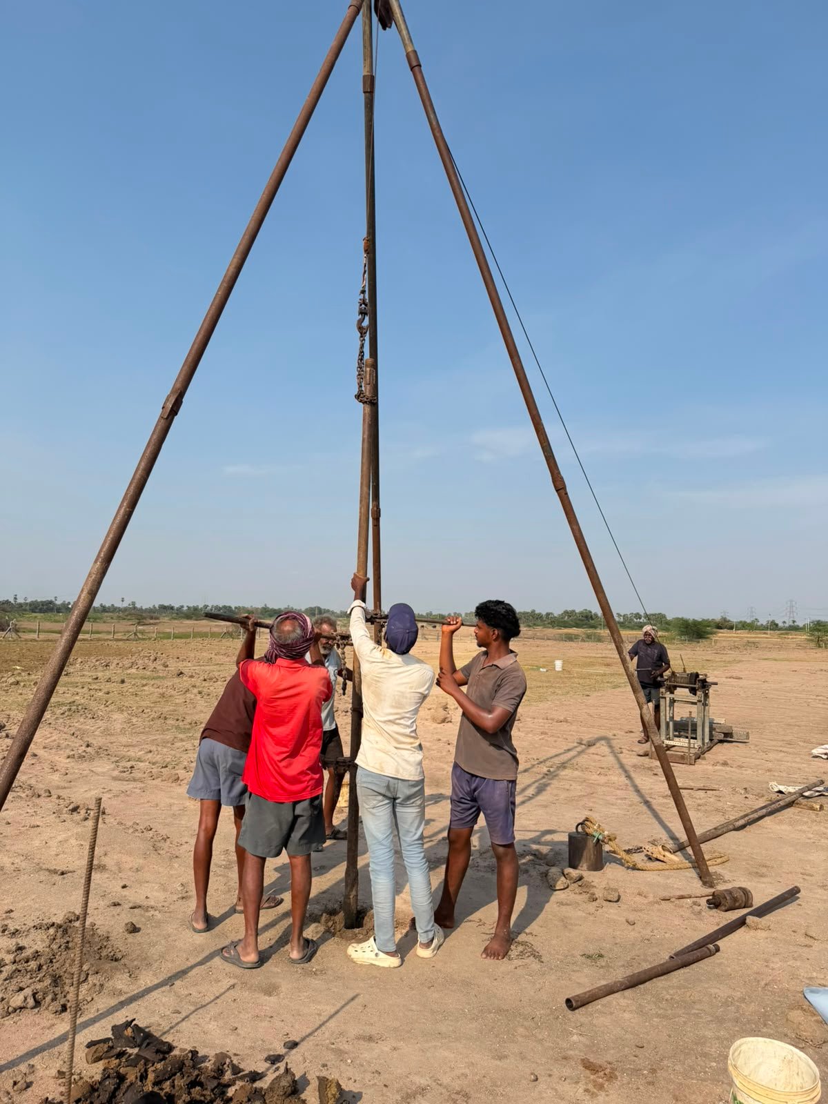
Borehole Drilling & Sub-Soil Investigation
Heavy-duty hydraulic rotary rig executing deep sub-soil stratum investigation and sampling.

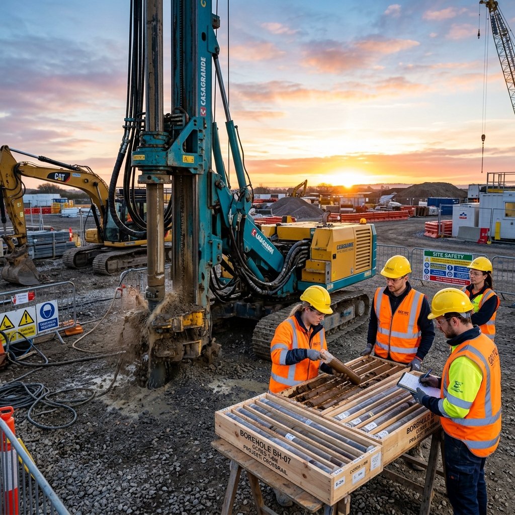
Core Sampling & Stratum Extraction
Undisturbed soil core sample extraction for lab shear strength & consolidation testing.
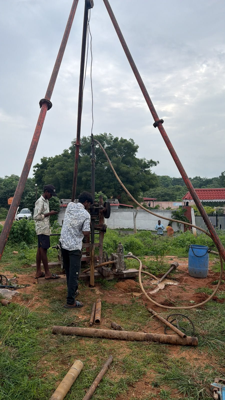
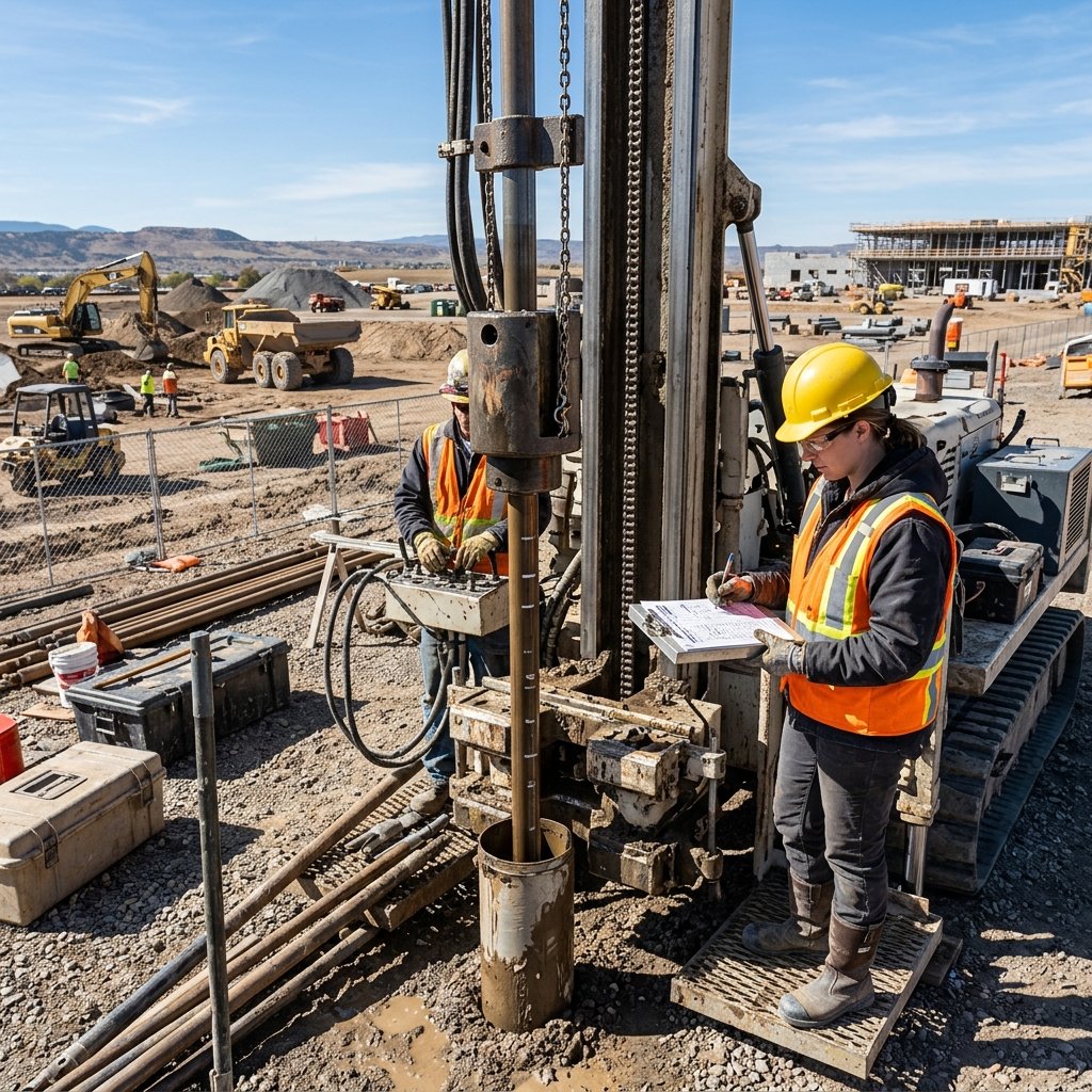
Standard Penetration Test (SPT)
On-site Standard Penetration Testing recording N-values for foundation bearing capacity evaluation.
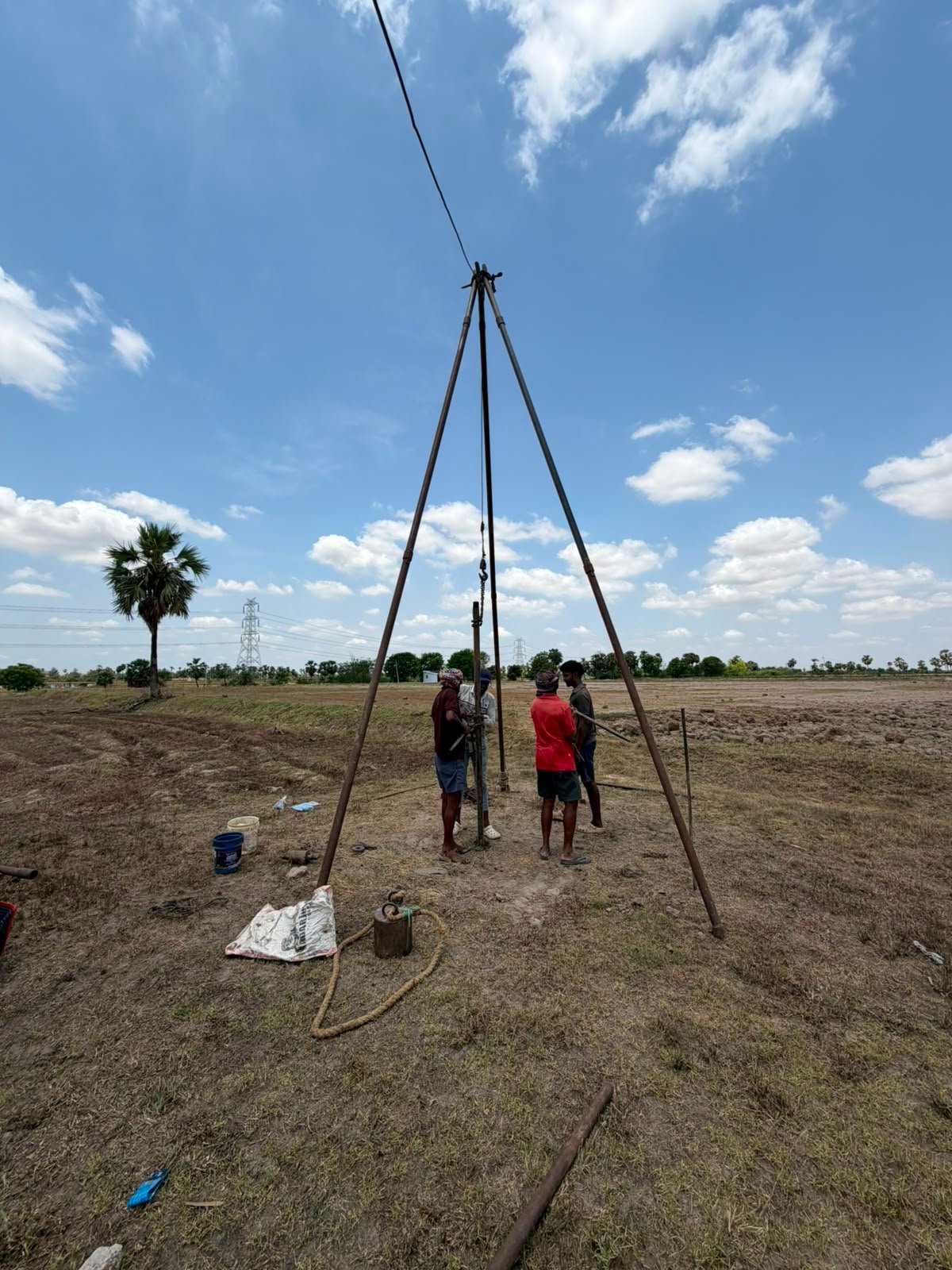
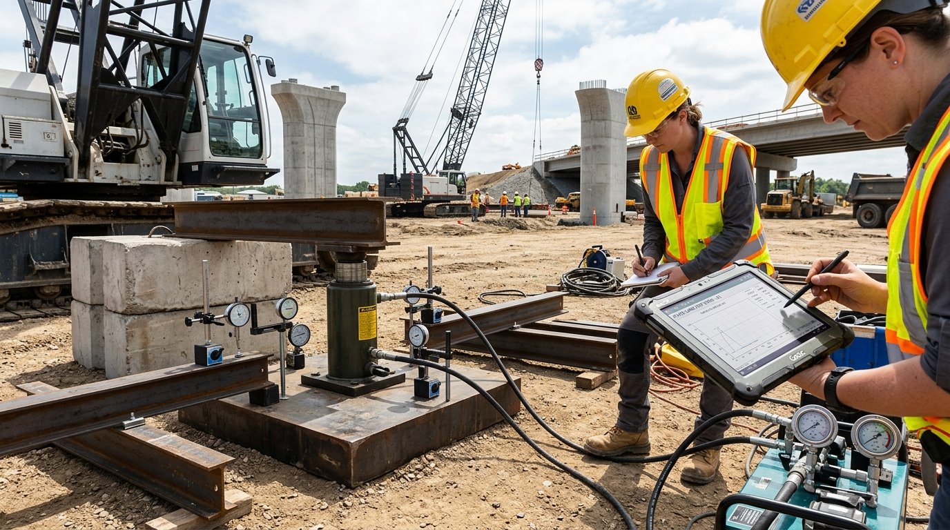
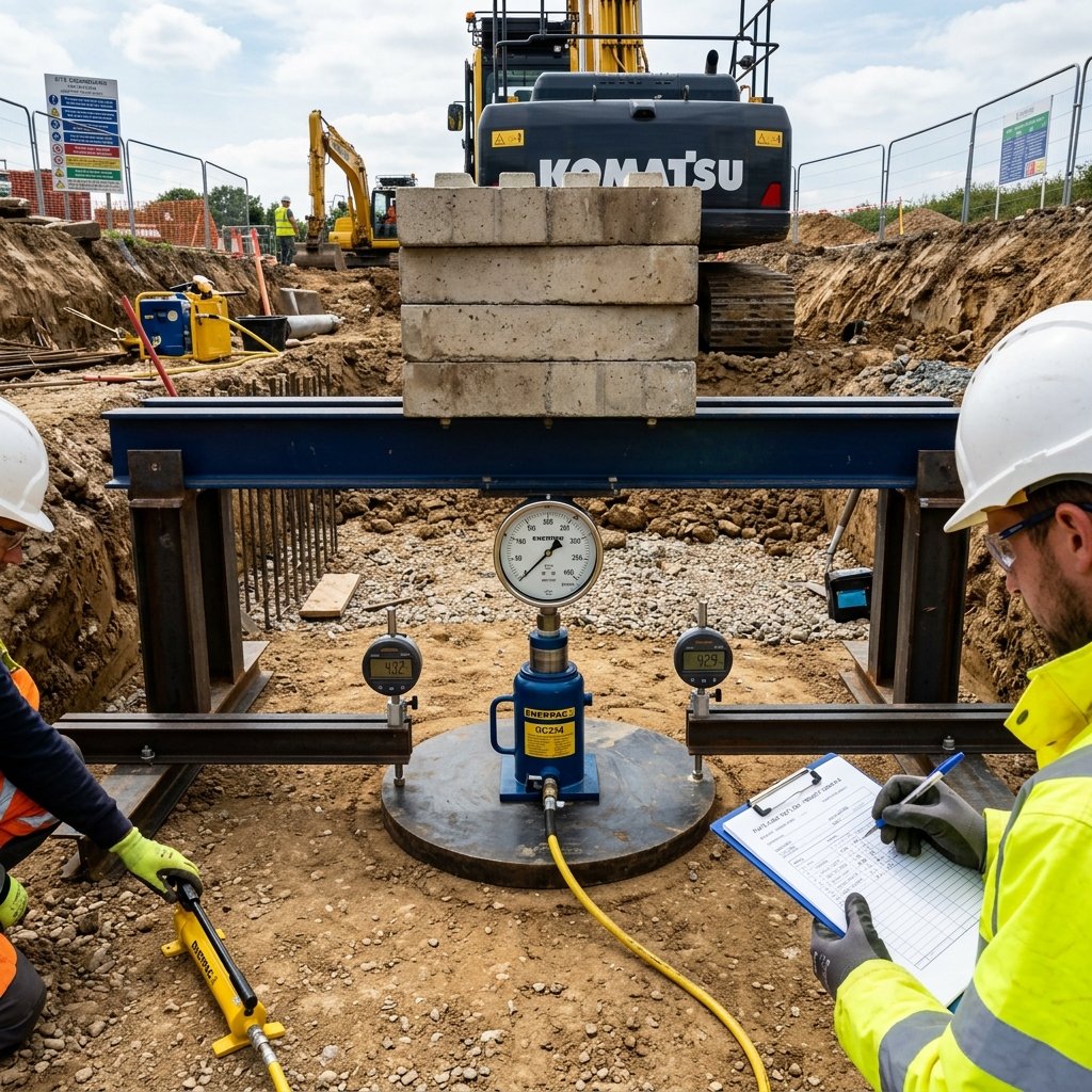
Plate Load & Settlement Test
Direct load bearing assessment and settlement analysis using calibrated hydraulic jack reaction system.
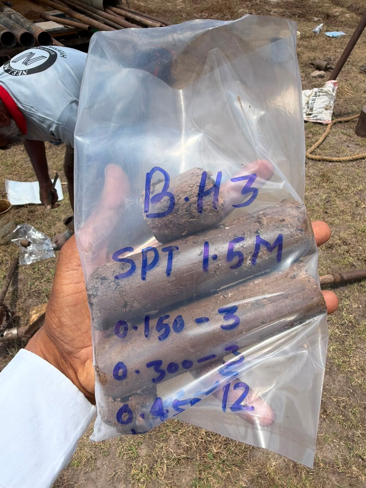
Geotechnical Drilling Rig Setup
Rotary drilling rig mobilized on site for high-accuracy infrastructure foundation investigation.
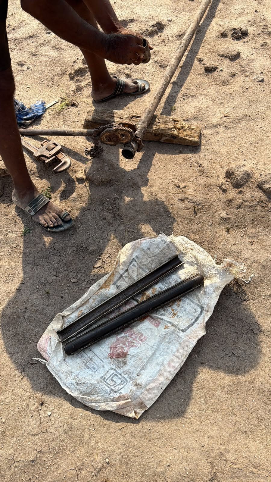
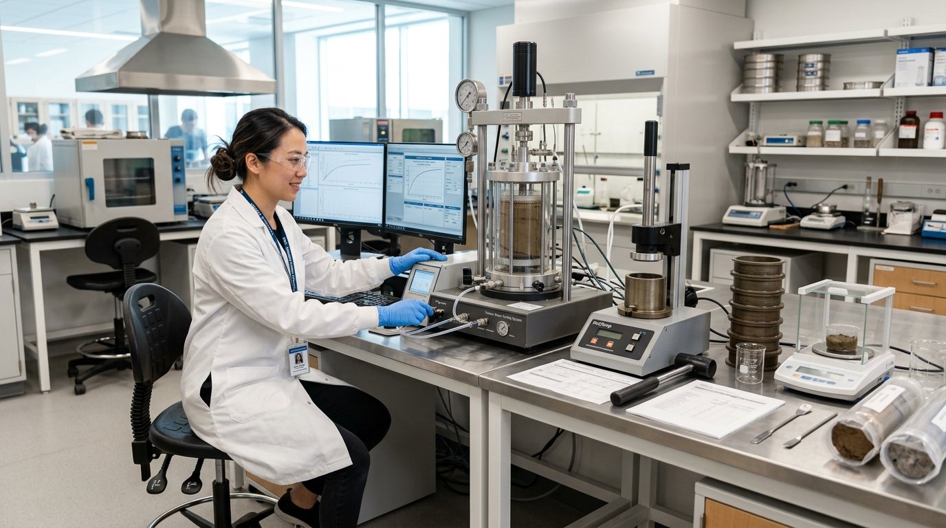
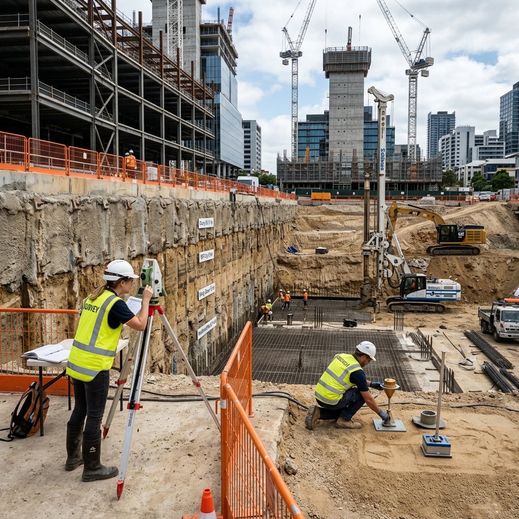
Field Soil Sampling & Density Testing
Field soil sampling and moisture-density verification for embankment and foundation engineering.
Strata Inspection & Sample Logging
Geotechnical specialist conducting visual stratum identification and physical sample logging.
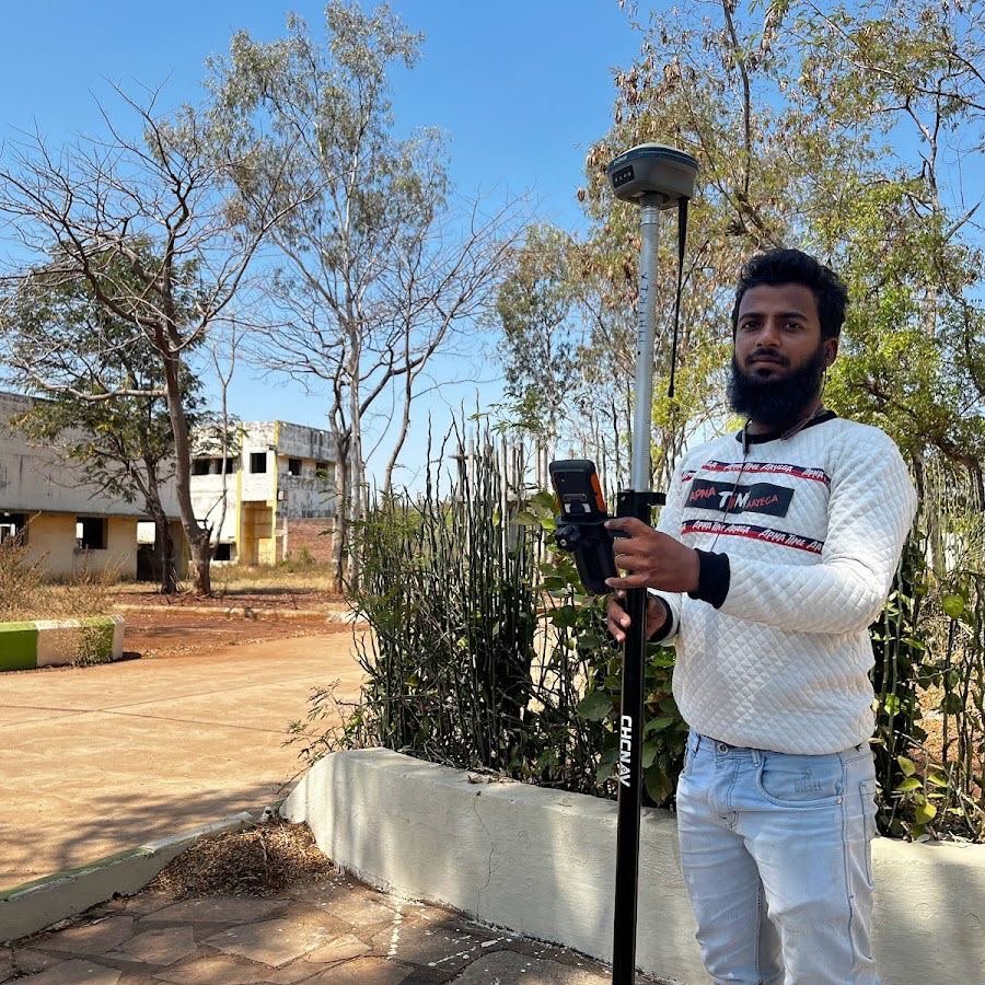
Field Testing & Calibration Apparatus
Calibrated field apparatus deployed for accurate Safe Bearing Capacity (SBC) determination.
Need Certified Soil Investigation & Geotechnical Reports?
Get precise Safe Bearing Capacity (SBC), borehole drilling, and lab test reports with sub-centimeter accuracy. Rapid field mobilization across Telangana & Andhra Pradesh.
Our Valued Clients
Have a Project in Mind?
Let’s build it together with precision, advanced geospatial technology, and 15+ years of trust.